


17,6 km | 38 km-effort

Benutzer


Kostenlosegpshiking-Anwendung
 SityTrail
IGN / Geografische Institute
SityTrail World
Die Welt öffnet sich für Sie
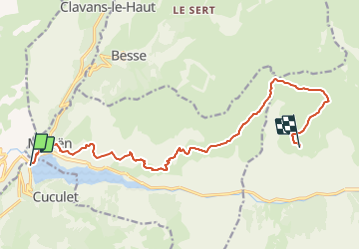
Tour Wandern von 14,6 km verfügbar auf Auvergne-Rhone-Alpen, Isère, Les Deux Alpes. Diese Tour wird von electron7 vorgeschlagen.
Tour des Ecrins GR 54 8 days
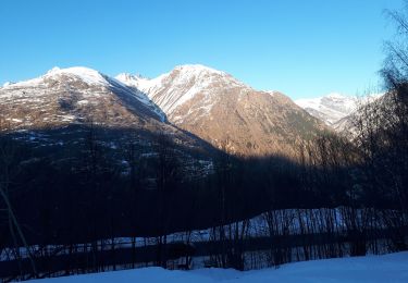
Day 1 -7u 14,5km
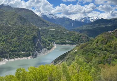
Barrage du Chambon-Lac Noir - 7u
1580m /194m-
Start:8u30 (stuwmeer,1000m) (taxi=8u)
VIA: GR50:
-Mizoen (1185m)
-Clots (1520m)
-Chalets du fay (2258m)
-confluents des torrents (2200m)
GR54:
-Col du Souchet (2365m)
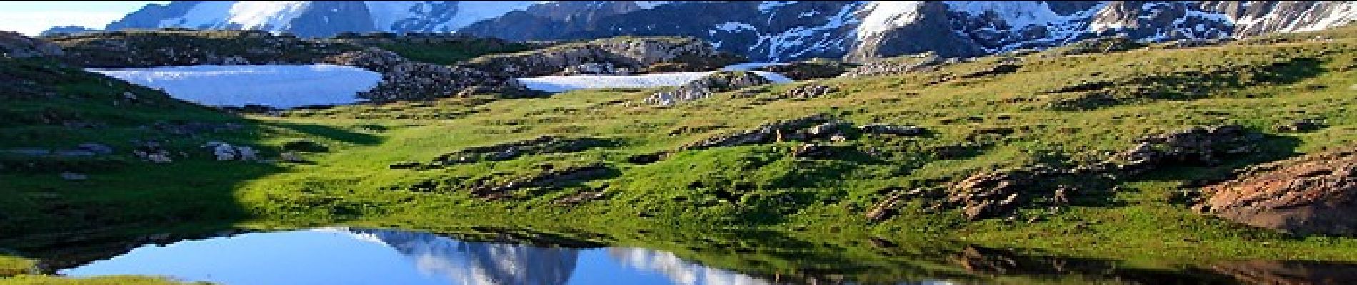
-Lac noir (2420m)
Waypoints
Start
NEXT: Mizoen = 30min
Mizoen 1185m
NEXT : Clots = 2u (1520m)
Les Clots 1520m
NEXT : Chalets du Fay = 2u45 (2258m)
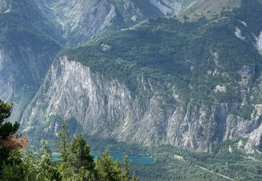
waterval
Cascade de la pisse (water)
Middag eten - 12u30
- eten (2050m)
NEXT : Chalets du Fay = 1u15 (2258m)
Chalets du Fay 2258m
NEXT: Confluent de torrents =15min
Confluent de torrents 2200m
Spitsing tussen de gr 54 en gr50 ( - 15u)
NEXT: Col de Souchet 2365m = 1u
Col du Souchet 2365m
NEXT: Lac Noir 2420m = 30min
Lac Noir 2420m
kampeerplaats ( -17u)

Skiwanderen
Skiwanderen

Wandern
Elektrofahrrad
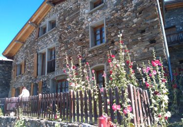
Wandern
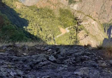
Wandern
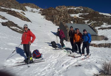
Skiwanderen
Skiwanderen
Wandern